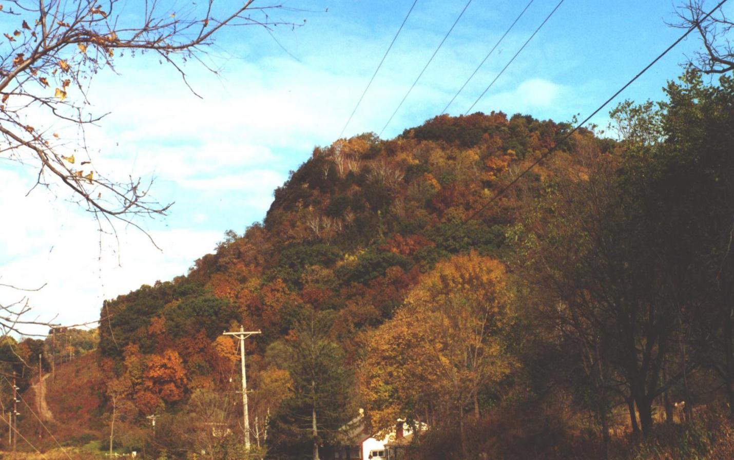
Angel Bluff

Stanley A. Ledebuhr, a retired Winona teacher, donated a 20-acre, Buffalo County bluff directly across the river from Winona to Mississippi Valley Conservancy in 2008. Ledebuhr, a lifelong Winona resident who taught in Winona public schools for 32 years, stipulated that the land should be open for public use. He owned the bluff for 30 years and has many memories of playing there as a child. He said that the bluff used to be a nesting site for peregrine falcons.
The scenic bluff property includes dry prairie, dry cliffs, former oak opening, southern dry-, dry-mesic and mesic forest, emergent aquatic wetland and surrogate grasslands. These natural communities provide habitat for a variety of rare and declining species. The property is visible from St. Mary's in Winona. From the bluff top, one can see all of Winona and a broad swath of the Mississippi River valley.
Ledebuhr registered the property as a natural area with The Nature Conservancy in 1986. TNC asked him for a name for the site and he chose "Angel's Monument,” a tribune to his late wife, Marian. He realized the importance of seeing the land protected, especially after a neighbor died and a developer bought the adjacent land and built homes and cut all the trees down.
Public access
Bikes and dogs are NOT allowed. Visitors must follow our recreational use policy as well as all federal and state laws and local ordinances. When visiting protected lands, please avoid trespassing onto the lands of neighboring property owners.
20-acre bluff
From La Crosse follow US-14/61 north through la crescent and continue north until you reach Winona, MN. From US 14/61 in Winona turn right onto Huff St. for 1 mile then turn right onto W 5th St then left at the first cross street onto Winona st. Continue onto MN-43 N entering Wisconsin and continue onto WI-54 Trunk E and turn left onto WI-35 N and continue 1 mile until you turn right onto Burt Lane and you have arrived.
GPS: 44.080981, -91.648817